
Cruising Through the Iron Gate Gorge
Few places capture the power of nature and history quite like the Iron Gate Gorge, where the Danube carves a deep boundary between Serbia and Romania. The river itself forms the dividing line—Serbia on our right, Romania on our left. This section is known for its dramatic scenery, and it also has a long history of serving as a natural barrier between regions.

The Geography of the Gorge
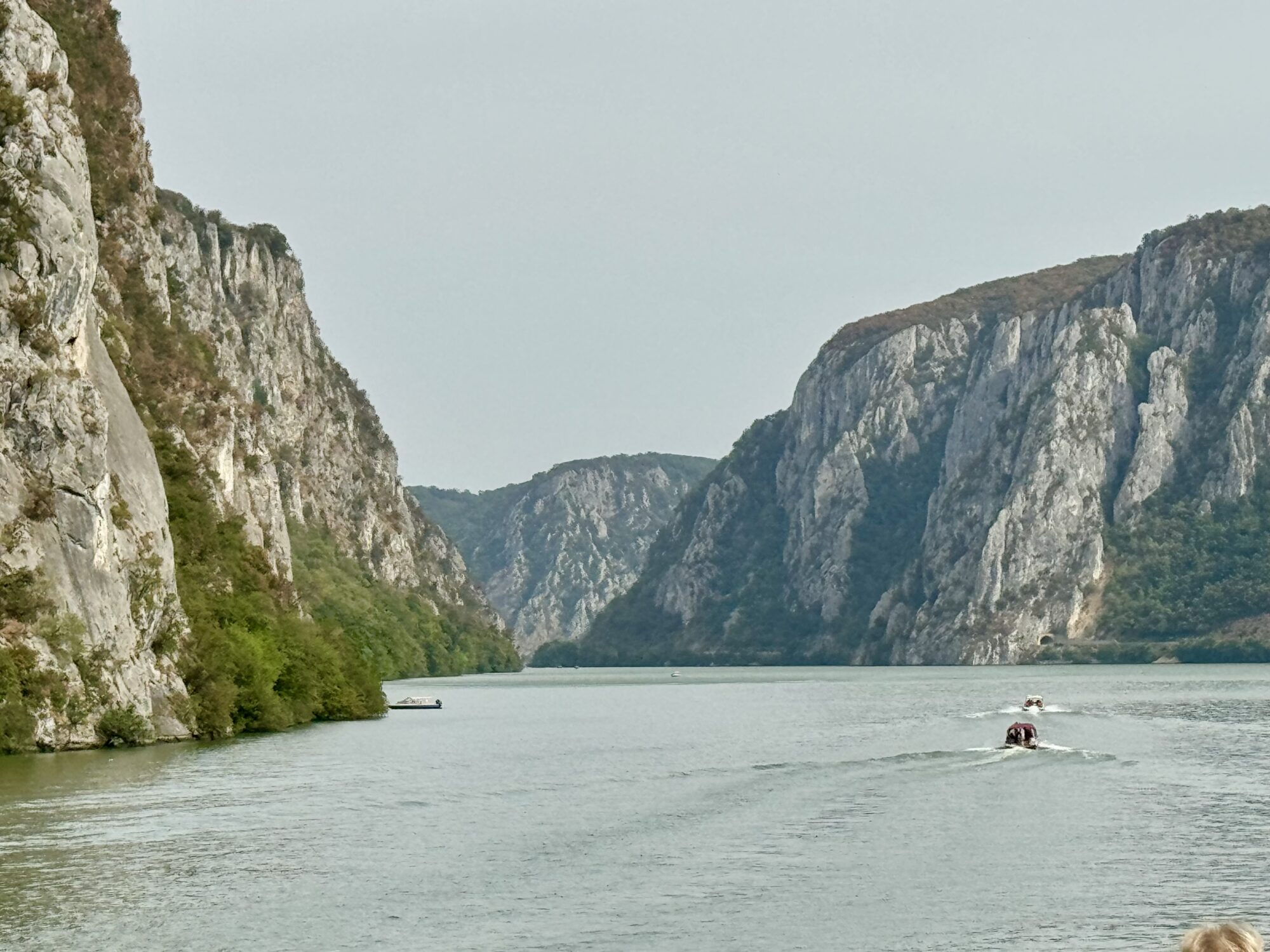
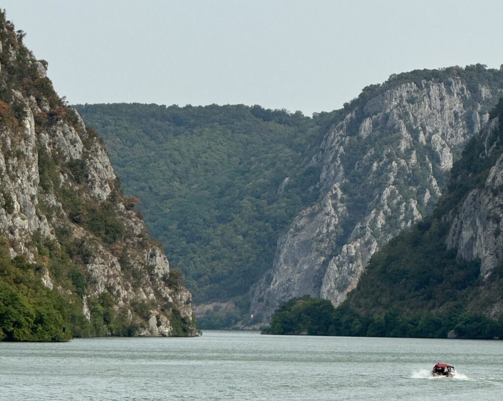
The Iron Gate Gorge is more than just a scenic spot—it’s where the river cuts through two major mountain ranges. On the Serbian side are the last spurs of the Carpathian Mountains, while on the Romanian side rise the Balkan Mountains. In some places the cliffs tower several hundred meters above the water, creating a narrow corridor that has been important for trade, defense, and navigation for centuries.
As we entered the Iron Gate Gorge, the water smoothed out and the air felt still, almost enclosed by the cliffs. Seeing the scale of the rock walls is difficult until you have a smaller boat pass by, dwarfed by the height around it. The narrowest point of the Danube here is only about 150 meters across, and in earlier centuries this section was dangerous for navigation due to strong currents and hidden rocks. Modern engineering has since made it safer for ships like ours to pass.
Villages and Views Along the River
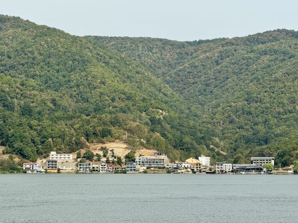
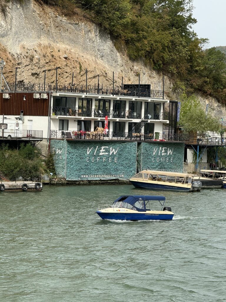
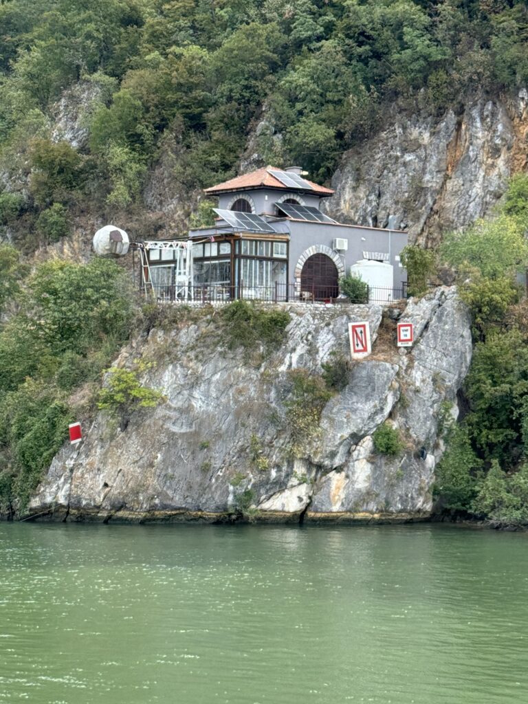
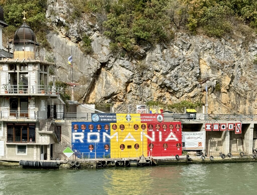
Along the way we passed small fishing villages, clusters of homes tucked along the shoreline, and a few larger houses perched in places with the best river views. On the Romanian side, some structures looked like small castles or large villas, with balconies that seemed perfect for morning coffee. On the Serbian side, there were quieter stretches, where the cliffs drop almost straight into the water.

The Rock Carving of Decebalus Rex
One of the most striking sights in this section is the massive rock carving of Decebalus Rex, the last king of Dacia. His reign was from AD 87 to 106, and he is remembered for resisting Roman conquest under emperors Domitian and Trajan. The sculpture is huge—55 meters (180 feet) tall and 25 meters (82 feet) wide—and is the tallest rock relief in Europe. From the water, it’s impossible to miss. It took 10 years and twelve sculptors to complete, and it was funded by Romanian businessman Losif Constantin Drăgan.
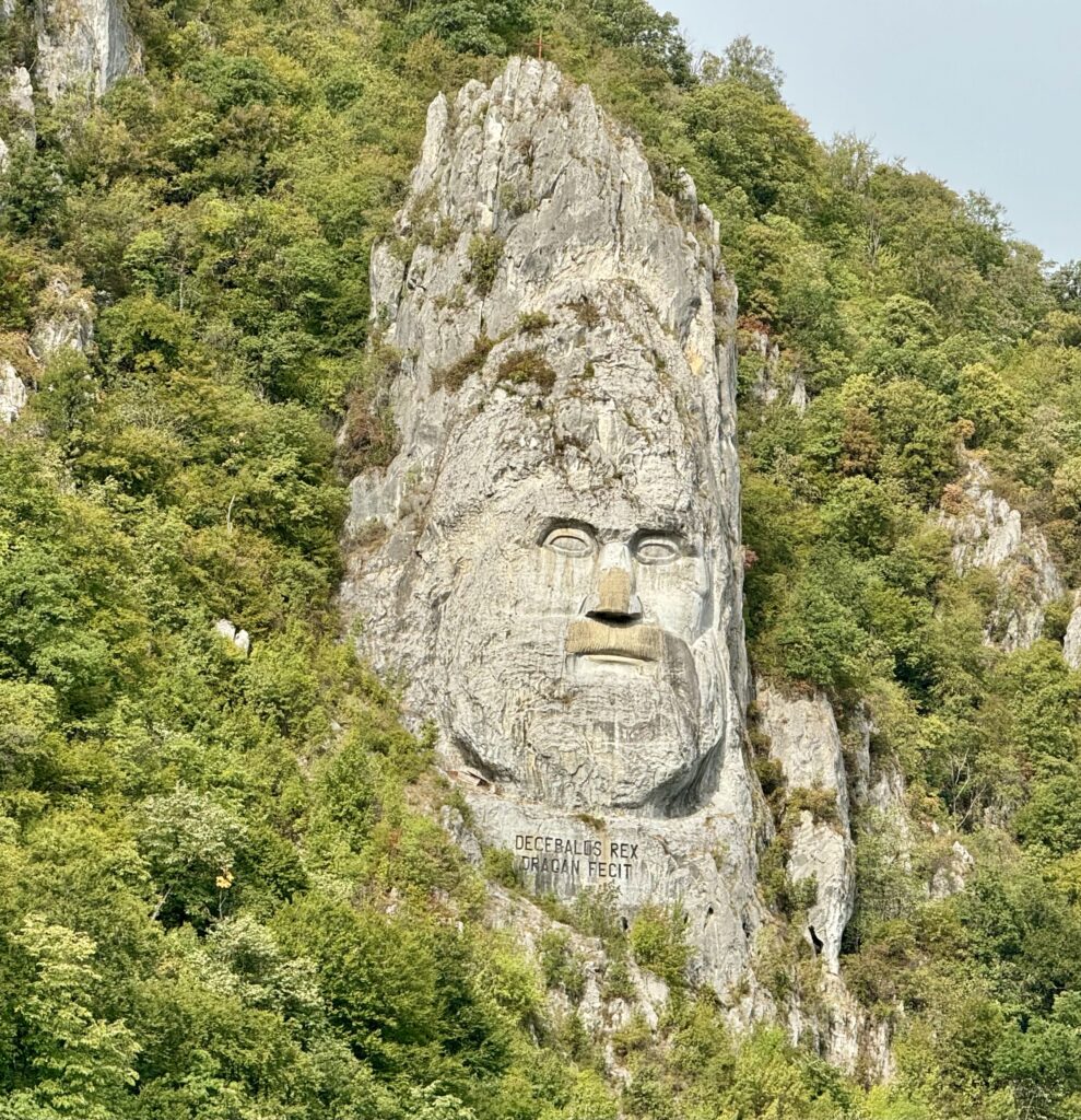

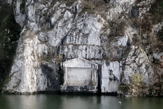
The Roman Plaque on the Serbian Side
The choice of location is deliberate. Directly across the river on the Serbian side is a small ancient Roman plaque, carved into the rock over 1,900 years ago. It commemorates the completion of Trajan’s military road along the Danube after the Romans finally defeated Decebalus and incorporated Dacia into the empire. The plaque is still visible from the river, though weathered.
Drăgan had hoped the Serbian side would respond to his Decebalus carving by creating a counterpart—a giant Roman emperor’s head—facing him across the Danube. The idea was to create a visual “standoff” between the two historical figures. The Serbs declined, so today the king gazes across the river at the much older Roman inscription instead.
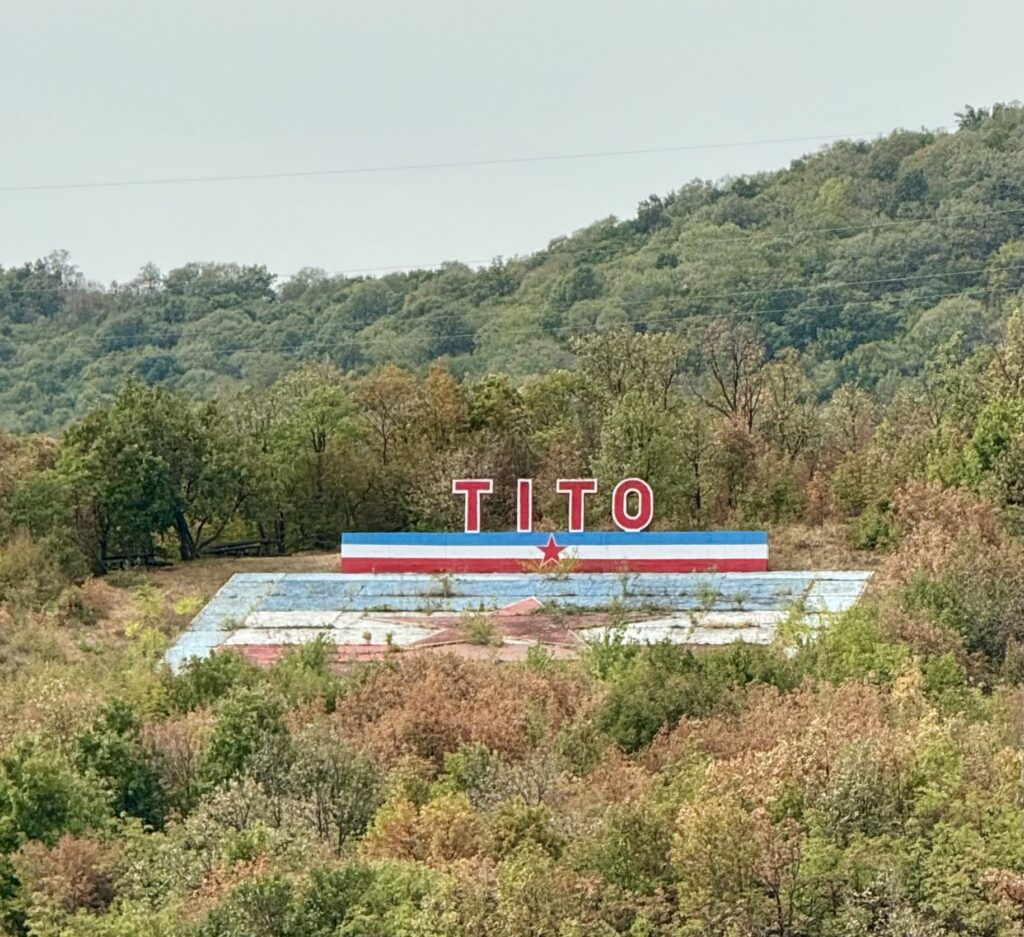
We also saw a memorial to Josip Broz Tito on the Serbian side, a reminder that this stretch of the river has seen many eras of power and change—from the Roman Empire to medieval kingdoms, the Ottoman Empire, and the 20th-century Yugoslav state.
The Iron Gate Dam and Locks
Leaving the narrowest and most dramatic section of the gorge, we soon approached the Iron Gate Dam and its set of two massive locks. This hydroelectric dam, completed in the 1970s as a joint project between Yugoslavia and Romania, transformed the river here. The locks are essential for ships to pass between the different water levels created by the dam.
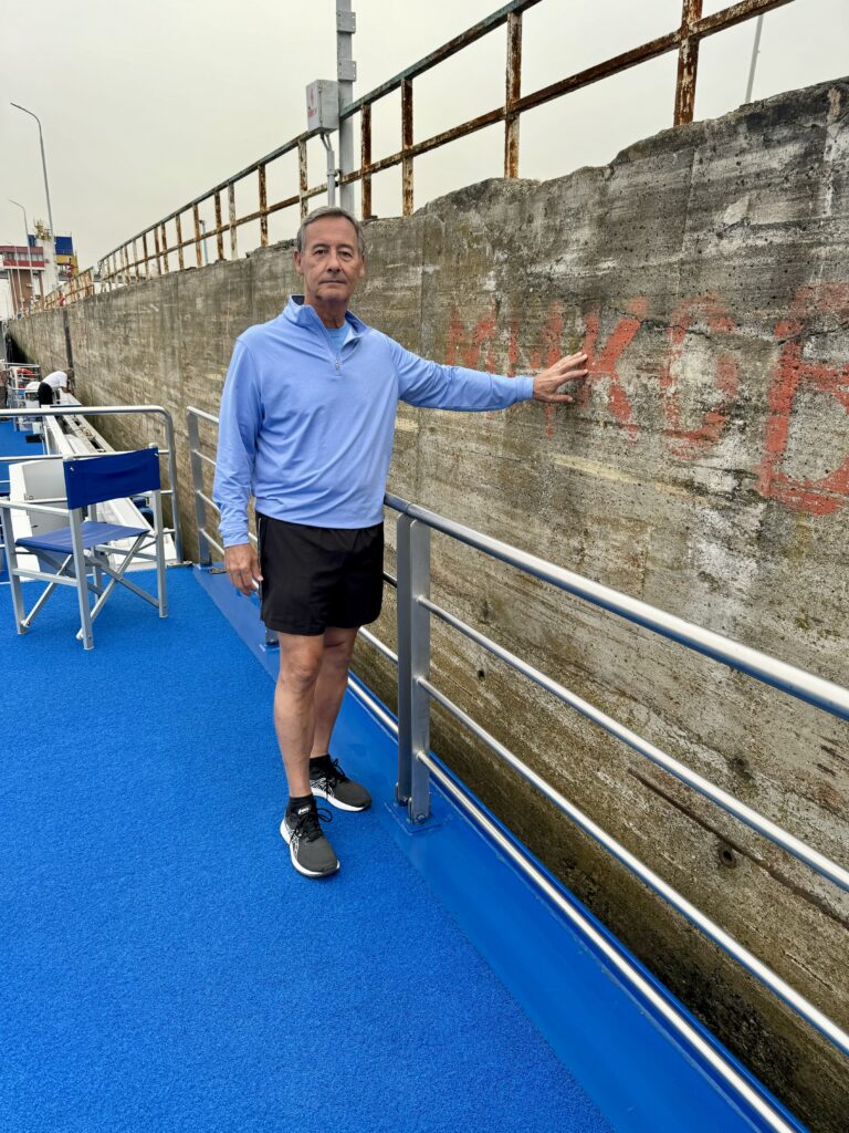
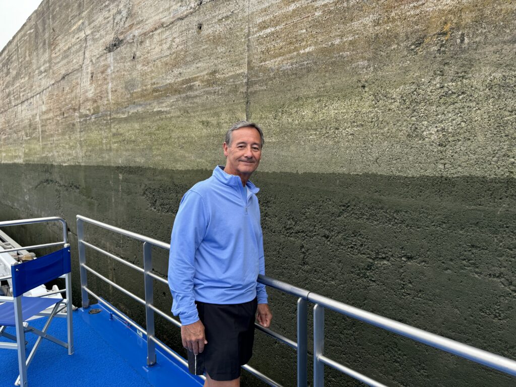
Entering the first lock was fascinating to watch. The lock chamber is a concrete box large enough to hold a vessel our size, with giant gates at each end. Once inside, the rear gates closed and water was slowly drained out to lower us to the level below—about 15 to 20 feet in this case. Standing on deck, you could see the waterline dropping steadily along the walls, revealing the marks from countless other passages.

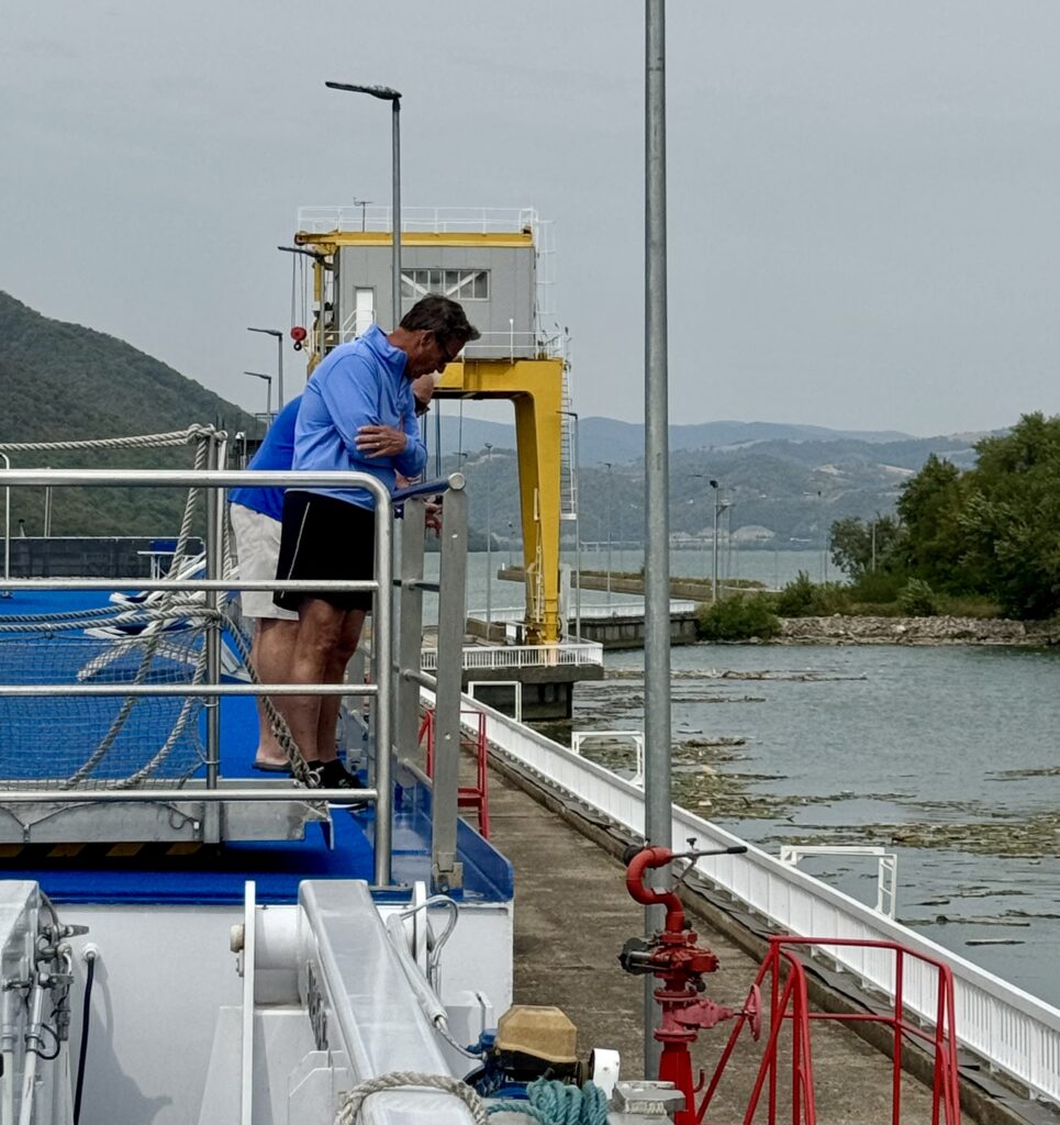

Charles, with his background in the maritime, transportation, and logistics business, enjoyed the process from start to finish. He pointed out small operational details—like the guide cables, the waterlines, the sound of the gates locking into place, and how the water flow is controlled so the descent is smooth.
Once the gates in front opened, we moved into the second lock and repeated the process. Each transit took under an hour, and soon we were back on the open stretch of river below the dam. The contrast between the confined lock and the wide river afterward was immediate.
Arrival in Bulgaria by Night
We continued downstream, leaving the mountains behind as the land flattened out. On the far bank, the Romanian villages seemed to fade into the distance, while on the Serbian side the shoreline became more open and rural.

By evening, we had reached our next port in Bulgaria. We docked late, with no excursions scheduled that night, so we simply watched from deck as the crew tied up the ship. The quiet hum of the engines died down, and the lights from the town reflected in the water. Tomorrow, we’ll wake up in another country, ready for the next part of the journey.
See also:
Budapest Revisited: A Wonderful Beginning
Vukovar, Croatia: A Quiet & Powerful Strength
Discovering Novi Sad: Serbia’s Unexpected Charm
Belgrade, Serbia – A City of Complex History
Golubac Fortress and Lepenski Vir – A Day in Northern Serbia
The Iron Gate Gorge: From Decebalus to Danube Locks (This Post)
Viden, Bulgaria: Roses, History and Symphony
Belogradchik Fortress: Bulgaria’s Hidden Gem in the Balkan Mountains